St. Croix's Second-Largest Sargassum Year on Record Hasn't Changed a Single Sunday at Cane Bay
August 13, 2026
August 13, 2026
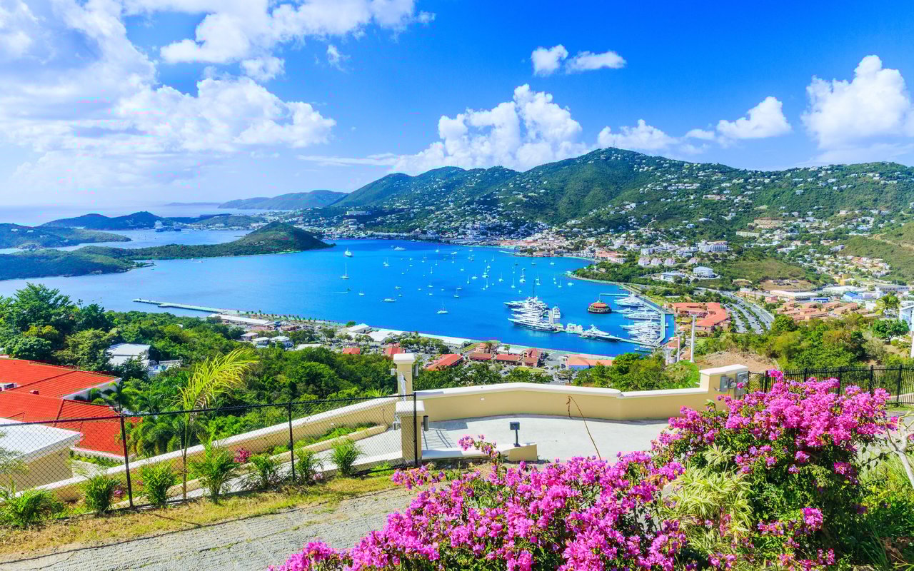
By eleven on a recent Sunday, the sand in front of Sprat Net was already packed in the way it packs in every week: coolers staked out under what shade there is, a game of beach volleyball running long past its intended end time, and Calvin working the grill while a pitcher of his papajuana made its rounds. Corn hit the coals around noon. The band started not long after. None of this looked like an island in the middle of what university researchers are calling one of the biggest sargassum years the Caribbean has tracked by satellite.
That gap between the headline and the actual beach is the whole story here. If you live along Cane Bay Road, you've probably seen the regional sargassum maps making the rounds this summer, the ones with wide red bands stretching across the entire Atlantic basin. What those maps don't tell you is which Sunday still belongs to Sprat Net's pig roast, or which stretch of sand a hundred yards from that same bar might be clear while another isn't. That's a local question, and it has a local answer.
The report making the rounds comes from the University of South Florida's Optical Oceanography Lab, released July 31 and covered locally by St. Thomas Source on August 3. The topline number is real: 2026 is set to be the second-largest sargassum year on record, trailing only 2025. The bloom itself has started its seasonal decline, but the lab was clear that a shrinking regional total doesn't mean an empty beach. Winds, currents, and tides still decide what actually washes up on any given shoreline.
Brian Barnes, the assistant research professor who works the lab's satellite data, put the pattern in plainer terms for the Source. Sargassum runs on a seasonal clock, he said, not unlike a flowering plant that blooms and dies back on its own schedule. "This is typical of the seasonality for this bloom," he told the paper. The word he used matters: typical. This isn't a crisis year so much as a big year, arriving on the same seasonal cycle the island has watched build and fade for years now.
Here's where the regional bulletin stops being useful and local geography takes over. Dive operators and beach regulars on St. Croix have noted for years that the East End and South Shore tend to catch the bulk of what comes ashore, while the North Shore and West End generally run clearer, even during active bloom periods. The reason is current, not luck. Prevailing patterns push floating mats toward the island's eastern and southern faces more often than they push them toward Cane Bay's stretch of coastline.
That said, "generally clearer" is not the same as "always clear," and the same August 3 report that covered the USF bulletin ran a photo of sargassum lining the shore at Sugar Beach, on St. Croix's own north side, taken that same week. So the geography sets better odds for Cane Bay than for a beach on the East End, but it doesn't guarantee a clean shoreline on any specific Tuesday. A regional map tells you what a whole coastline is likely to see over a season. It won't tell you what your stretch of sand looks like this morning, and that's precisely the gap a resident needs to fill with something more current than a monthly satellite bulletin built for the whole Atlantic basin.
Which brings the story back to Cane Bay itself, where the actual rhythm of a week has less to do with a tide report and more to do with who's cooking. Cane Bay Dive Shop has been running boats out to the Wall since 1990, and the schedule hasn't budged this summer. Divers still book morning trips off the same ramp, still drop over the same drop-off that made this stretch famous long before anyone was tracking satellite imagery of floating algae.
Boat dives go out regardless of what day the calendar says, but Sunday is when the beach itself becomes the draw and not just the reef beneath it. That's when Sprat Net becomes the actual center of gravity, pig roast smoke drifting down the beach, the band setting up, the volleyball net staying busy well into the afternoon. A short walk down the sand, Off the Wall has been running its own lineup since new ownership took over the pub-style menu in 2024, tacos and sandwiches for anyone who wants a quieter corner than the party at Sprat Net. The Landing keeps its seafood-forward menu and frequent live music going for the dinner crowd, and Sunny Shore Up's food truck is still the reliable early stop for coffee and a burrito before any of the rest of it opens.
None of that lineup changes because a lab in Florida published a bulletin. It changes because Calvin is cooking, or because the tide happens to be running the wrong way that particular Tuesday. The calendar that actually governs a Cane Bay weekend was set by the people who show up, not by a regional forecast.
If you're deciding where to spend a beach afternoon this week, the smarter move is to skip the wide-angle regional map and look at something closer to real time. CariCOOS publishes current marine conditions and short-range forecasts for the Caribbean, which is a better tool for a same-day decision than a monthly outlook written for the entire Atlantic basin at once. Wind direction matters too. As of the National Weather Service's August 7 update for St. Croix, winds were running east at 15 to 20 miles an hour with gusts near 30, hazy skies, highs near 92. That easterly flow is exactly the kind of pattern that tends to favor the North Shore over the island's eastern coves on any given day, though these patterns shift within the same week, so check again before you load the cooler.
The practical habit worth building, if you're out here often enough to have a favorite parking spot, is treating sargassum the way you'd treat surf conditions: something you check the morning of, not something you plan around for the whole season based on one headline.
A satellite lab in Florida can tell you how much sargassum is floating across the entire Atlantic this year, and this year that number is genuinely large, second only to last year's record. What it can't tell you is whether Sprat Net's parking area will be full by eleven this Sunday, or whether the water off Cane Bay Dive Shop's ramp will be clear enough for a morning dive. Those answers come from people who are already out there, checking the sand the same way they've checked it for years, cooking the same pig roast regardless of what the regional map says.
If you're already arranging your weeks around Cane Bay's tides, Sprat Net's Sunday lineup, and which dive boat is heading out that morning, Sterling Point Real Estate would love to talk about what it looks like to make that rhythm a permanent one. Schedule a consultation whenever you're ready to talk through what North Shore living actually involves, from the everyday routines to the property side of it.
Stay up to date on the latest real estate trends.
Published
With strong market knowledge, strategic guidance, and attentive service, we walk beside you every step on your Real Estate journey. As a trusted Virgin Islands brokerage, we bring hands-on support, trusted advice, and a genuine love for island living, delivering an elevated experience built on professionalism, deep care, and lasting relationships.